a blog by Peter Leonard


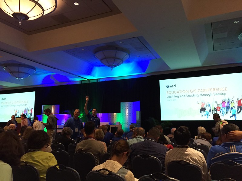
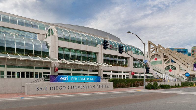
I’m in San Diego for the next week for a GIS conference put on by ESRI, the maker of ArcMap and other geo-spatial software. ESRI’s programs are sort of like the Photoshop of the GIS world: expensive, difficult-to-learn, encumbered by decades’ worth of legacy interfaces and workflows — but also incredibly capable. Nearly any task you can think of with a map is accomplishable, if you can figure out how.
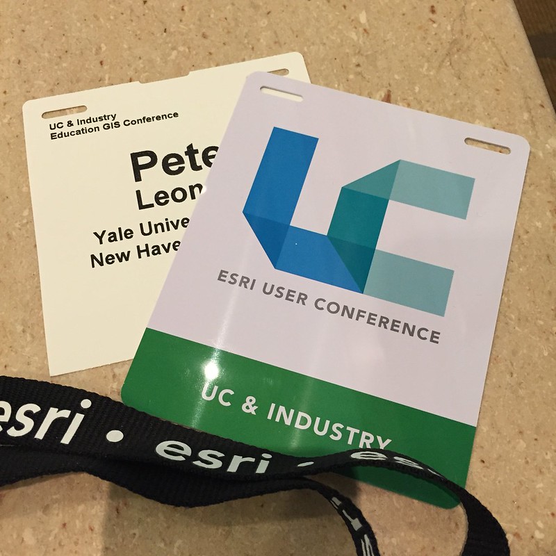
In my Digital Humanities work, I more often work with geo-spatial software at the web browser level: Leaflet.js, CartoDB, and similar. These technologies, among others, help power some of the maps on Yale’s Photogrammar project. But there’s no question that some problems and datasets require the kitchen-sink tools and computational power of ESRI’s Windows-only software stack. So I’m at ESRI User Conference to learn more about these tools, and bring any knowledge I can back to the Yale Digital Humanities Lab when I return.
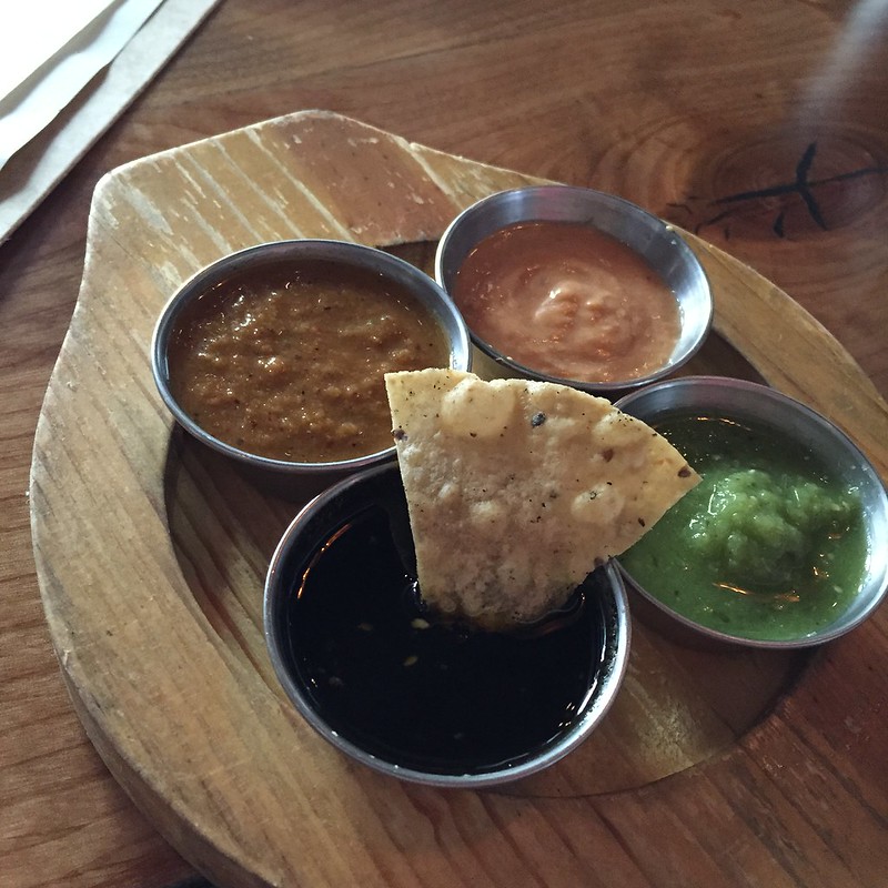
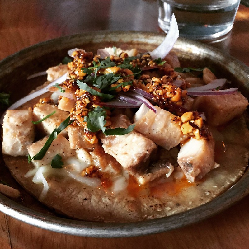
I have to admit I was also looking forward to a different class of Mexican food in San Diego, and Común Taqueria did not disappoint. They put Marita chili ash on top of their chips, which can led you to wonder exactly what the black stuff is on the chip you’re about to put on your mouth — but which is ultimately delicious.